Sunday, October 31, 2010

'Frightfully' Quiet Halloween Weather in the U.S.


A cold front is slowly moving southward through the central Plains at this time, but little in the way of significant weather will be associated with it.  Little ghouls and goblins across portions of the central Plains and much of the northern Rockies may have a bit of a cool & soggy time of it this evening, but otherwise quiet weather will dominate much of the nation this halloween.


Have a safe and happy halloween!


Another Active Week Instore

The atmosphere has been trending toward a more active fall pattern for the past week to 10 days, and the upcoming week appears to be no exception.  


Below are a series of the latest forecast guidance from the HPC, first one being a surface weather map valid at 7pm CDT Monday:


As you can see, a rather strong cold front is forecast to be advancing southward through the Plains.  At the same time, a strong upper-level weather disturbance will be moving into the region as well, per the latest GFS model:


The above features will result in a good chance of showers & thunderstorms along and ahead of the front.  The SPC is not currently forecasting a severe weather risk area for the region, however that may change in later forecasts, depending on how fast low-level moisture is able to return to the region:


By Tuesday morning at 7am CDT, the front is forecast to have moved offshore and into the Gulf of Mexico:


Cooler air will be spilling southward into the Plains, with a very fall-like feel instore through mid-week.  You can see this trend continuing on the surface forecast map valid at 7am Wednesday:


Depending on the amount of low-level moisture that is able to return and over-run the cold front, a fairly widespread light rain even is likely across much of central and east Texas if the above scenario pans-out.  This potential will be further enhanced by a strong upper-level weather disturbance that is forecast to be moving across the region at the same time.  Here are the GFS model presentations of this feature at 7am Tuesday:


and 7am Wednesday:


Back to the surface map valid at 7am Wednesday, you might have noticed the tightly packed isobars emerging on to the lower right corner of the image (in the Carribean Sea).  That is Hurricane Tomas, which is forecast to continue advancing into the Carribean as shown on the maps below, valid 7am CDT Thursday:


and 7am CDT Friday:


In the longer range, Tomas is likely to take a turn toward the North as it encounters the strong Southwest flow aloft from the advancing weather disturbance across the southcentral & southeast U.S.  At this time it appears that these trends will likely turn the system out to sea before it could have any potential impact on the U.S. (including Florida).

Thursday, October 28, 2010

Cooler Weather - As Advertised

We've been talking for over a week now about how today through at least the first part of the weekend would be significantly cooler for a large chunk of the Plains, thanks to an advancing cold front. 

Here in central Texas, for example, after 2-3 days of high 80 to low 90 afternoon high's, we will be back into the 70s today.  Along with brisk Northerly winds, it will certainly feel a lot more like fall than is has for the past few days!

Below is the latest surface map, taken shortly after 7:30 central time this morning:


If you are unsure as to how to decode the station plots, please see the graphic below:

As you can see, significantly cooler air is flowing southward across the Plains this morning.  This airmass will keep temperatures much more fall-like across southcentral Texas today:


and again on Friday into Saturday:


Overnight lows tonight and Friday night will dip into the upper 30s across much of the region, for the first time this fall:


It certainly is nice to see the weather matching up with the calendar again!


Tuesday, October 26, 2010

Severe Weather Outbreak Underway

A widespread severe weather outbreak continues to unfold across portions of the Midwest, Ohio Valley and Mississippi Valley areas, and is developing Southward into the deep South at this time.

Below is the latest severe weather outlook issued by the SPC, which shows a relatively rare "High Risk" area for late October:


Tornado watches are currently in effect all across the moderate and high risk areas:

One of the watches has the "buzz words" of:  "This is a particularly dangerous situation..." meaning that long tracked and/or strong to violent tornadoes are possible within the watch area:


I'm trying to think of the last time a "high risk" of severe weather was forecast in late October, much less with a PDS Tornado Watch issued this time of the year.  Nothing is coming to mind immediately, I'll try to research that later on today if I get some free time.

Warnings are also widespread across the region, with many of them tornado warnings at this time:


This outbreak is the result of the interaction of a strong cold front and vigorous upper level storm system moving into the region.  This is the same system that we began watching/talking about last week.


Monday, October 25, 2010

Summer ... Then Fall

We blogged much of last week about a major pattern change coming for this week, and it is still on track.  Below is the latest forecast from the GFS Model, valid at 7pm CDT on Wednesday, 10-27. 


As you can see, a strong cold front is still shown sagging southward through the Plains at that time.  This front will bring much cooler conditions to the central & southern Plains states for the 2nd half of the week.

In Texas, highs will only be in the 70s for much of the sate on Thursday and Friday.  This will seem even more dramatic coming in after summer-like heat in the 90s for some parts of the state today and Tuesday!

Friday, October 22, 2010

Severe Weather Threat Expands into Weekend

As we posted on Wednesday, ever stronger pieces of energy associated with the upper level low pressure system over the southwest U.S. will eject out into the Plains today through Sunday.  With each disturbance that moves out, the threat for severe weather will expand Eastward over time through the weekend.

Here is the latest SPC outlook for severe weather for today:


...for Saturday:


...and for Sunday:


Large hail, damaging winds and isolated tornadoes will be possible within (and near) the severe weather risk areas throughout the weekend, so residents of those areas should remain alert & listen for changing weather conditions, watches & warnings.


First Significant Cold Front of the Season Still in the Cards

The GFS Model continues to show a cold front blasting southward into the Plains by mid-week next week, reaching the Red River Valley in Oklahoma by 7pm CDT on Wednesday the 27th.  Here is the latest run of the model below, valid at 7pm CDT on 10-27-10:


In keeping with the experiment we outlined on Tuesday, here is what the model forecast for the same date and time was on Monday (5 full runs ago):


As you can see in the latest comparison, the GFS Model still shows the cold front making it to the Red River, but with much less intensity than on the initial run on Monday (and subsequent runs for that matter).  It also shows the corresponding upper-level weather disturbance as less intense as well. 

Since the weakening trend is a departure from the last several runs of the model, we would want to use caution and monitor the next couple of runs for continuity before changing the forecast.

Regardless of how the exact details work out, it still looks like an active weather pattern is in store for next week across much of the nation...


Thursday, October 21, 2010

That Wild, Wacky "Zulu Time"

I've posted a lot of images and referred to specific dates and times in those images this week, more so than I normally do (using computer model guidance anyway), and that has raised a question about "time" from several readers...

Most of their questions/comments go something along the lines of:

"Are you crazy...you keep saying the model image is valid at 7pm CDT on Wednesday, 10-27-10, when it clearly says on the time stamp on the model image that it is valid Thursday 10-28-10".

To further illustrate their point and my response, please see the sample image below, from my latest post on the upcoming major weather pattern change to take place across the country next week:


While it's true that the day/date stamp on the image says "THU 101028", which decodes to Thursday, the 28th of October, 2010, if you look a little further to the right of the "slash" (/), it says "0000V168".  The "0000" refers to 00:00 Greenwich Mean Time (GMT), also known as 00:00Z (Z being "Zulu" time).

For whatever reason, the global meteorological community chose to use GMT or Z time many years ago when establishing protocols.  For more on Greenwich Mean/Zulu time, see a link here.

Anyway, as you've probably already figured out, 00:00 pretty much universally stands for Midnight, so Midnight on 10-28-10 would actually equate, in the central U.S. time zone, to 7:00 PM (on the 27th).

So, there you go.  I'm not crazy...it's just that wacky zulu time messing with your head (and mine)!

GFS Agrees With Itself Again...

In a post yesterday, I noted that the GFS Model had backed-off a bit on the cold air invasion that it had been predicting for portions of the central & southern Plains for the 2nd half of next week.  But remember I also remarked that, compared to previous runs of the same forecast model for the same valid date and time, this was a departure from what had been an established trend in the forecast (see also my remarks about "continuity" in the forecast models toward the end of this post from Monday).

Well, what do you know... when I pulled the latest GFS Model forecast for the same valid date and time (7pm CDT Wednesday, 10-27-10) this morning, it had reverted back to the prior trend of showing cold air advancing as far south as the Red River in Oklahoma by that time.  See the latest model image I'm speaking of below:


As a reminder, here is what the same model had forecast for the same valid date and time, 7pm CDT Wednesday, 10-27-10, just 4 days ago (on Monday):


So, as you can see, the GFS Model has come back in line, and for 3 of the last 4 runs has continued to forecast the same result, as shown above.  If we follow the continuity theory that we've been speaking of this week, it would be reasonably safe to assume that there is a good chance of the above scenario playing out across the region next week.

Regardless of the exact details as to how this will play out, it is still very obvious that much of the nation is instore for a much more stormy, cooler to colder weather pattern for the last week of October...

Stay tuned!


Wednesday, October 20, 2010

Severe Weather Potential on Thursday & Friday

As we've been forecasting for the past few days, a vigorous area of low pressure over the Southwest U.S. will eject several disturbances out into the Plains over the next 2-3 days.  The first such disturbance will affect portions of the High Plains of west Texas, eastern New Mexico and adjacent portions of Colorado, Oklahoma and Kansas on Thursday afternoon.  The SPC is already forecasting a threat of severe weather for much of the region in association with this first disturbance:


On Friday, an even stronger piece of energy will spread further Northeast, increasing the severe weather threat Friday afternoon and evening in an area from western & central Kansas into Oklahoma and northwest Texas:


The above looks to be just the beginning of a very active weather pattern that appears to be setting up into next week and beyond.  See earlier posts from today, yesterday and Monday for additional information on the pattern that is emerging.

Active Weather Still on the Way

Please see yesterday's post for more on what we're doing this week.

With the above in mind, here is the latest GFS Model forecast for 7pm CDT Wednesday, 10-27-10:


And here is what the same model had forecast for the same valid date and time 2 days ago (issued and posted on Monday):


As you can see by the latest model run (top image), compared to the prediction on Monday (and again yesterday), the models are now limiting the Southward progression of the cold front, but actually depict an even more active pattern in the middle atmosphere as far as disturbances are concerned.

Since this is the first "departure" from the original forecast of Monday and Tuesday, it would be wise to evaluate the computer model runs over the next day or two and see if the current trend is continued, or if the models revert back to the original prognosis. 

In either case, it continues to appear as though we are in store for a very active week weather-wise for next week...


Tuesday, October 19, 2010

Long Range Update

In my post yesterday, I pointed out how a major pattern change would begin this week, continuing into the last week of the month and 1st week of November.  I used, in part, the 240 hour forecast from the GFS Model as a basis for this prediction.  I thought it would be interesting to post a comparison each morning this week to see how the computer model forecast changes/evolves for the same valid date and time.

Since yesterday's long-range point of reference was the forecast valid at 7pm Wednesday, 10-27-10, we'll continue to use that in our comparison this week.

First, here is what the GFS Model was forecasting yesterday.  Again, remember, the valid time of this prediction is 7pm Wednesday, 10-27-10:


Now, here is what the same forecast model is forecasting 24-hours later, for the same valid time of 7pm CDT Wednesday, 10-27-10:


As you can see, this particular computer model is still forecasting a strong surge of cold air blasting southward through the Plains during the 2nd half of next week.  The strong upper-level low over the Southwest U.S. is also still depicted as in the previous model run.

If anything, this latest run of the computer model is forecasting the cold front to be a little further south than in the previous run, near the Red River between Texas/Oklahoma by 7pm on Wednesday the 27th.

This is something we look for in meteorology called "continuity" with respect to the models.  Basically, when each new run of the forecast model generally continues to come up with the same conclusion for the same general area and/or period of time, you can assume that the liklihood of the event(s) actually happening is higher.

We'll continue to post the subsequent GFS Model runs for the same valid time throughout the week and see if this trend continues.  For now, it certainly is safe to say that our prediction yesterday of a colder, more active end to October is certainly on track...

Monday, October 18, 2010

Southern Plains Weather To Become Active Again

After a week to 10 days of nearly non-existent (but beautiful) weather, a major pattern change is underway in the atmosphere that will bring much more active weather to the southern Plains (and much of the remainder of the nation for that matter) over the coming 2 weeks.  This is to be expected during the 2nd half of October and 1st part of November, so it's nice to see things moving along the meteorological calendar "on schedule" for a change...

If you live in central or south Texas, you've probably noticed the first element of this change this morning:  FOG.  As noted on the 7:43 a.m. surface map from this morning, dense fog is widespread across much of central & east Texas, into adjacent portions of Oklahoma, Louisiana and Arkansas (note the purple symbol that looks like a large equal sign "=", which depicts the observance of fog at the appropriate stations):


The development of widespread fog is indicative of low-level moisture surging back Northward from the Gulf of Mexico.  This moisture return will be an important ingredient in producing rain across the region on an increasing basis over the next week to 10 days.

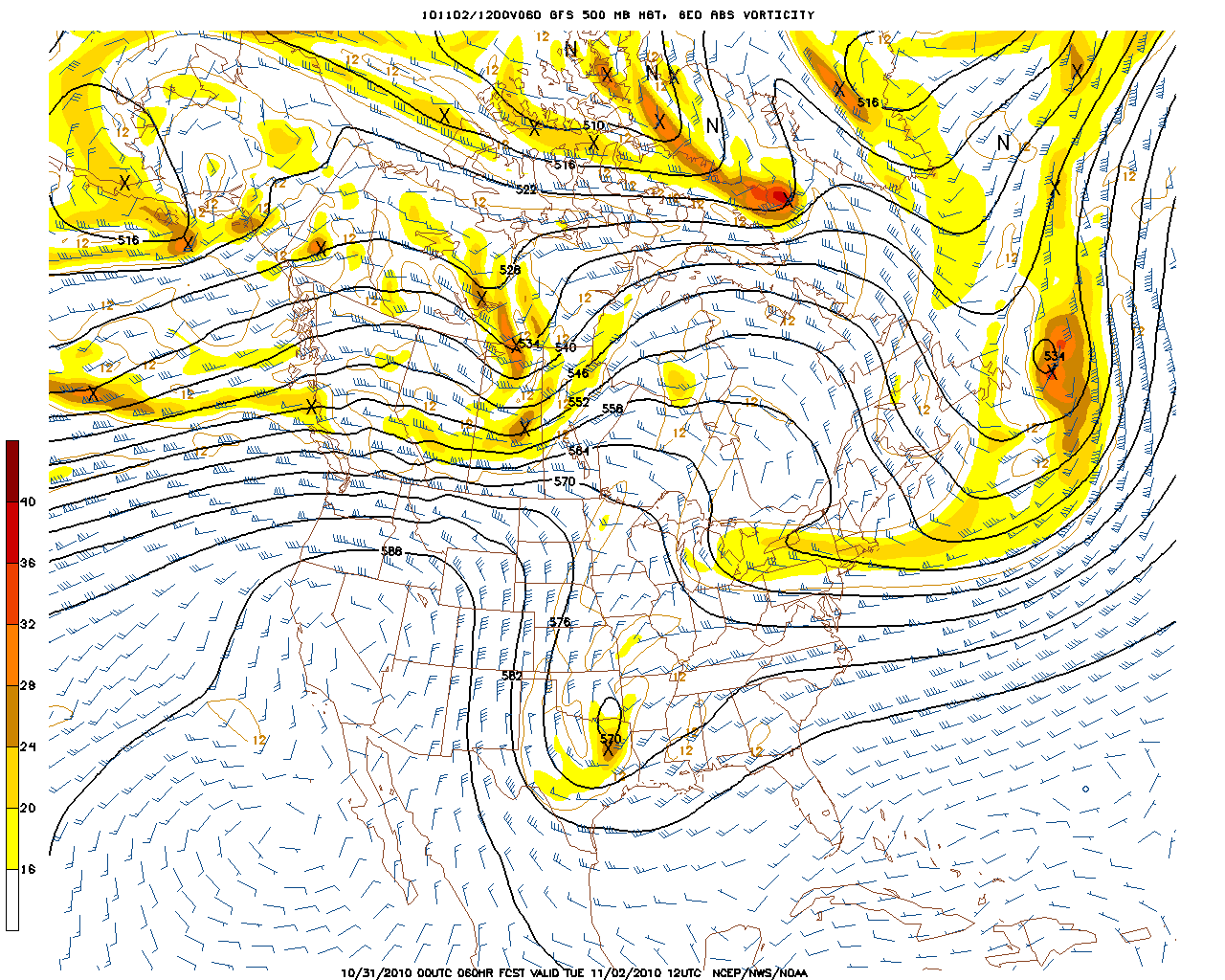
The second part of the pattern change has to do with wind flow and disturbances in the middle & upper levels of the atmosphere.  Below is the latest computer forecast from the GFS Model, valid at 7pm CDT tomorrow evening, 10-19-10:


Note the panel on the upper left side of the 4-panel image.  This panel shows the expected wind flow at 500mb, which meteorologically speaking roughly corresponds to the "middle" of the atmosphere.  (For a more detailed tutorial on what each panel means and how to interpret the information, go here).

Note the large swirling area of low pressure over the southwest U.S.  This area of low pressure will begin ejecting disturbances to the Northeast into the southern Rockies & Plains this week, bringing increasing chances of precipitation.  Note the latest forecast rainfall map for today through Friday from the HPC:

By Friday, the low is expected to lift out into the Plains, bringing an even more widespread rain event (including an increasing potential for severe storms) to the region at that time:


Also note in the above image (which is the GFS computer model forecast valid at 7pm Friday, 10-22), that yet another piece of energy is already forming back over the Southwest where the original low pressure area had formed earlier). This suggests that an active pattern will continue even after the main low pressure area is ejected out to the Northeast later in the week.

Looking even further ahead, an even more vigorous scenario is forecast next week.  Below is the 240 hour forecast from the GFS Model, valid 7pm CDT Wednesday, 10-27-10:


Note another, even stronger, area of low pressure forecast over the same region in the southwest U.S.  Perhaps even of more interest is the very strong, arctic cold front that is forecast to be surging Southward into the Plains at about the same time (note the upper right panel in the same 4 panel image, which shows the forecast conditions at the surface level).

If this latter scenario verifies, it will be the first significant arctic cold front of the season to impact the U.S.  240 hours is obviously a long ways out, and a lot can change in the meantime, but it definitely bears watching.

Regardless of how all of the above scenarios actually pan-out, the bottom-line is that we're definitely going to see a return to a more active weather pattern over the coming week to 10 days.  Stay tuned!

Sunday, October 10, 2010

Severe Weather Potential Today & Monday


The above radar image was taken by the doppler radar at Vance AFB (near Enid, OK) just a few moments ago.  You can see fairly widespread shower & thunderstorm activity over southern Kansas and northwestern Oklahoma.  This activity is occurring ahead of an  upper level weather disturbance that is lifting East/Northeast out of Colorado this morning.


This disturbance is just the first in a series that will rotate around a broad area of low pressure currently located over western Nebraska (as seen in the latest watervapor satellite image below) over the next few days.


The combination of the disturbances along with a gradual return in low level moisture and instability will result in a risk of severe thunderstorms across portions of the central & southern Plains today and again on Monday.  Please note the SPC severe weather risk areas as forecast for today:


and Monday:


Each year it's pretty typical for there to be a "secondary" or mini severe weather season during the transition from summer into fall and winter in the Plains.  During this time of year, there is usually no shortage of frontal boundaries and upper air disturbances as cooler Polar air drives Southward.  The trick, at least insofar as severe weather development is concerned, can be getting enough low-level moisture and instability into the affected areas to support widespread severe weather.  

As you can see by the 10:30 am CDT surface map below, dew points are still only in the 40s to lower 50s in today's severe weather risk area.  However, you can see 60s dewpoints not too far to the south in Texas, and this moisture will gradually spread Northward today & tonight.


Just in case you're new to surface map reading (or new to the format above), here is a simple graphic that will help you to decode the information:

Thursday, October 7, 2010

Media Disappointed With Hurricane Season


Get ready for news articles, like this one, blasting forecasters as not knowing what they were doing earlier this year when forecasting an above average hurricane season.  The fact of the matter is, it has certainly been an above average season.

I know we tend to be a bit self-centered at times, but just because the U.S. coast wasn't hammered by a powerful storm doesn't mean that the season hasn't been above average as far as activity goes.  So far we've had 15 named storms in the Atlantic Basin this season.  This compares to 10 on average to date.  It just so happens that the majority of the storms have remained out to sea and did not impact heavily populated land masses. 

You'd think we'd be grateful for such an outcome as the end of an active season nears.  Sometimes I think the media is just too locked-in on "disaster watch" to see the big picture...