
The above is the latest severe weather outlook from the SPC, valid for tomorrow, Thursday, April 14th. Severe thunderstorms are forecast within the green outlined area, with an enhanced risk of severe thunderstorms (including very large hail and strong tornadoes) over the areas outlined in red.
The enhanced severe weather risk area includes Wichita, eastern portions of the Oklahoma City Metro Area and the Tulsa Metro Area, as well as the Ft. Smith and Fayetteville areas along the Oklahoma/Arkansas border.
A strong upper level disturbance will move out over the outlook area Thursday afternoon and evening, while the low-levels of the atmosphere become very unstable on moisture surging back Northward from the Gulf of Mexico.
A dryline is forecast to extend from southcentral Nebraska through Central Kansas and into central Oklahoma by Thursday afternoon. Severe thunderstorms are forecast to develop along and ahead of the boundary by late afternoon and move Eastward during the evening hours.
Large hail, damaging winds and tornadoes are possible with any severe storm that developes across the region Thursday afternoon and evening. The greatest risk of very large hail and potentially damaging tornadoes will take place across the area outlined in red, from southcentral & southeast Kansas into portions of central and eastern Oklahoma.
Residents across the region should remain alert Thursday afternoon & evening and listen for later statements, watches and warnings.
I almost didn't include this next (and final) paragraph in this post because I am relying solely on my raw memory without going and looking at the archived data first. Due to the potentially significant impact of this type of an event, however, I've decided to go ahead and include it:
My initial impression of the set-up (as currently forecast) for tomorrow draws more than one similarity to the infamous April 26, 1991 outbreak (except perhaps maybe slightly to the East as far as initiation goes, and on a lesser North to South scale across the same region). On that day, at least 2 long track, very damaging tornadoes occurred across southcentral Kansas (southeast Wichita/Andover area) and northcentral Oklahoma (Red Rock). I intend to go back and take a closer look at surface and upper-level data from 1991 as time allows this afternoon and plan to make an updated post regarding my findings later today...
***Update 6:15 PM CDT***
I haven't been able to spend as much time on this as I would have liked, but so far I have located the following 3 images of April 26, 1991-related data.
First are the 500mb charts from the morning before and the morning after (believe it or not, I couldn't find one for the day of online):

500mb Analysis 7am CDT 4-25-91

500mb Analysis 7am CDT 4-27-91
and the third was a composite forecast chart valid 7pm CDT on 4-26-91 (from Doswell, et.al., 1993):

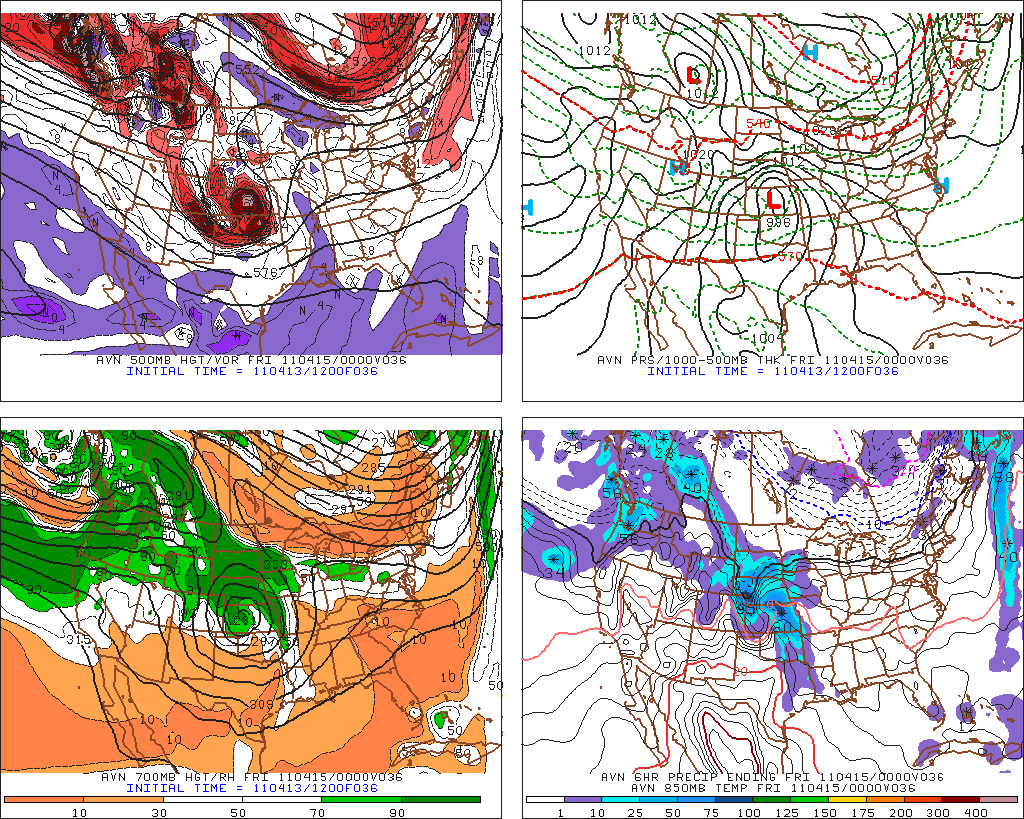
Below is the latest GFS Model forecast valid 7pm CDT tomorrow evening, 4-14-11.
As you can see, there are several similarities between the 1991 case and tomorrow's forecast, both at the surface and upper-levels.
Regardless of whether or not you want to draw any parallels between the two cases, tomorrow promises to be a very active, potentially dangerous severe weather day. Residents of the central and southern Plains, and particularly central and eastern portions of both Kansas and Oklahoma should remain on a high state of alert and be prepared to seek shelter if threatening weather approaches.
I'll make another updated post tomorrow morning including the latest trends and forecast...
No comments:
Post a Comment