
The above satellite image shows an area of disturbed weather over the Bay of Campeche in the southwest Gulf of Mexico this morning. This system is currently drifting slowly toward the Northwest. The National Hurricane Center is forecasting a 20% chance of this system becoming a tropical depression within the next 24 hours. (The chances will be higher after that time period, as conditions become more favorable for development).
What I really want to focus on here is the potential for this system to bring widespread (and much needed) rain to Texas next week.
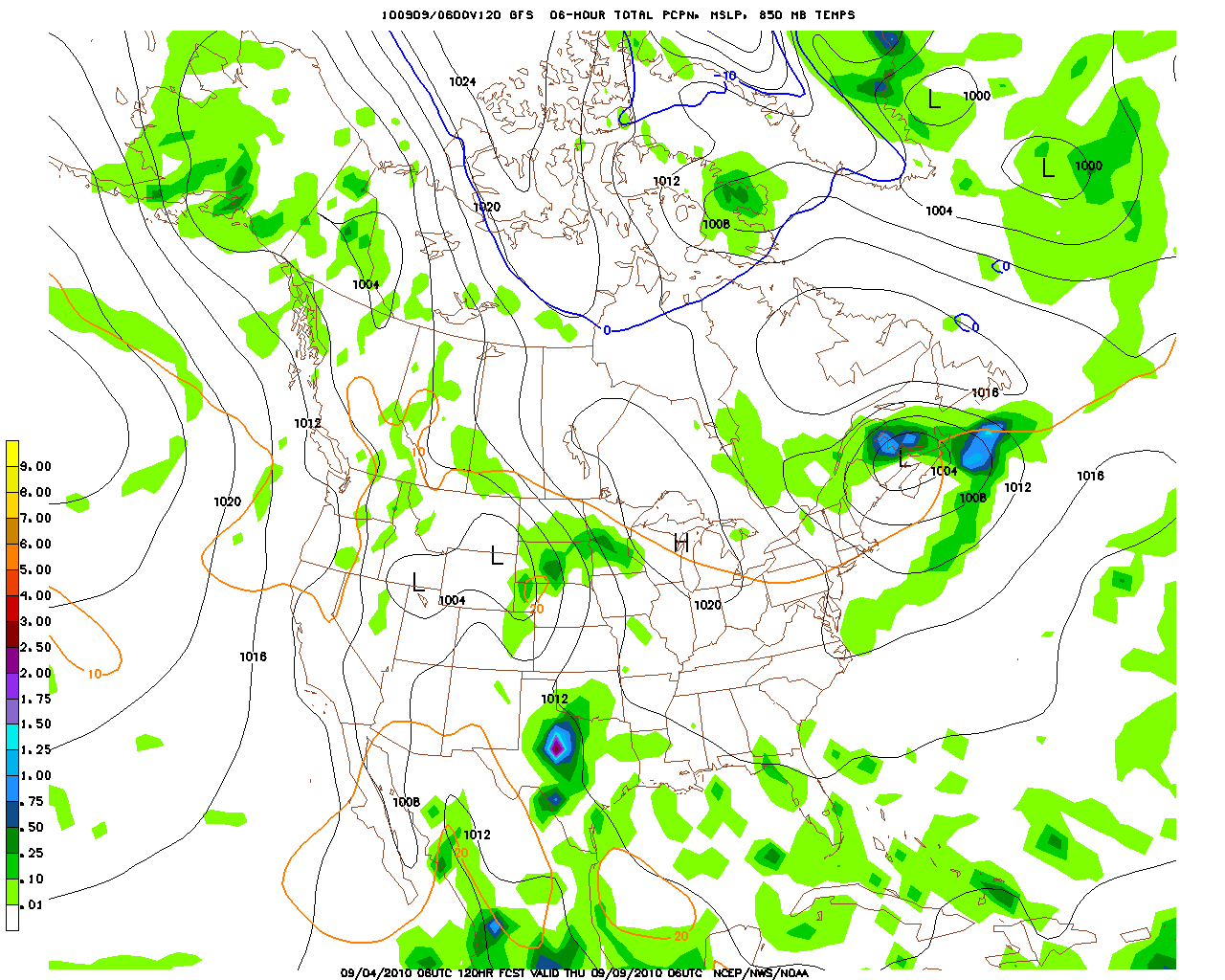
The series of images below are forecasts produced by the GFS Computer Model, which show the system moving Northward into Texas with beneficial rains.
Valid Tuesday, 9/7/10 at 1am CDT:

Valid Tuesday, 9/7/10 at 1pm CDT:

Valid Wednesday, 9/8/10 at 1pm CDT:

Valid Thursday, 9/9/10 at 1am CDT:
While we'll certainly want to monitor for any potential tropical threats along the Mexico & lower Texas coasts, I think the main news with this system will be much needed rain for a large part of the Lone Star state. Below is the HPC total rainfall forecast for the period Tuesday thru Thursday next week. Note the large area of 2 plus inches of rainfall over Texas.

No comments:
Post a Comment