
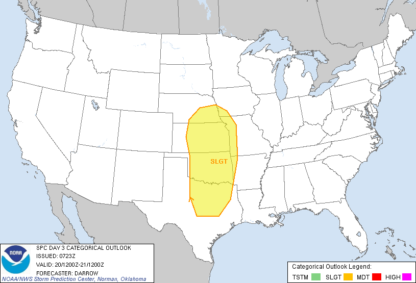
Severe thunderstorms are possible today within the areas outlined in yellow on the image above. Large hail, damaging winds and isolated tornadoes are possible with any activity that forms in these areas.
Thunderstorms are currently underway to the East of this region, from southeast Kansas into northeast Oklahoma. This activity is forming as moisture returns to the region just above the surface level. This particular activity is not expected to become severe.
Thunderstorms are forecast to form within the severe weather outlook area very late this afternoon or more likely this evening and into tonight. Large hail will be the greatest threat with this activity, however isolated tornadoes also cannot be ruled out with any particularly strong/organized storm.
The threat of severe weather will expand in coverage on both Thursday and Friday. The potential magnitude of severe events will also increase both days, with very large hail, damaging winds and tornadoes possible. Below are the latest severe weather outlooks from the SPC for Thursday and Friday, respectively:

Please pay close attention to the weather if you live in these areas, and check back to the blog for more specific details as the events approach.
No comments:
Post a Comment